Download
1 / 25
250 likes | 339 Views
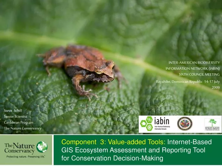
Steve Schill Senior Scientist Caribbean Program The Nature Conservancy. Component 3: Value-added Tools: Internet-Based GIS Ecosystem Assessment and Reporting Tool for Conservation Decision-Making. INTER-AMERICAN BIODIVERSITY INFORMATION NETWORK (IABIN) SIXTH COUNCIL MEETING

E N D
Steve Schill Senior Scientist Caribbean Program The Nature Conservancy Component 3: Value-added Tools: Internet-Based GIS Ecosystem Assessment and Reporting Tool for Conservation Decision-Making INTER-AMERICAN BIODIVERSITY INFORMATION NETWORK (IABIN) SIXTH COUNCIL MEETING Bayahibe, Dominican Republic 14-17 July 2009
TNC Projects with IABIN Protected Area Tools for ArcGIS Training and Capacity Building Watershed Threat Assessments DGF Project: Value-Added Tools: Ecosystem TN: Protected Areas TN: Internet-Based GIS Ecosystem Assessment and Reporting Tool Integration of Ecoregional Products Terrestrial/Freshwater Standard Classifications Consortium Member Management Effectiveness
PAT Three Modules: 1. Environmental Risk Surface (ERS) 2. Relative Biodiversity Index (RBI) 3. Marxan Tools http://www.gispatools.org Schill and Raber, 2008
Relative Biodiversity Index (RBI) • Requires: • Targets • Planning Units • Analysis Extent
Marxan Support Tools • Requires 4 data layers: • Targets (points, lines, polygons) • Planning Units • ERS Model (cost surface) • Protected Areas
Evaluating Effective Conservation Mitigate Threats Implement Mngmt Plan Implement Mngmt Plan Viability Status Mitigate Threats Improve Viability Implement Mngmt Plan Improve Viability Mitigate Threats Threats Status Mngmt Status Improve Biodiversity = Effective Conservation
IABIN Component 3: Tool Objectives • Integrate IABIN’s Ecosystem and Protected Area Thematic Networks • Provide a simplistic “manager’s dashboard” approach for querying and visualization of effective conservation • Permit conservation decision-makers to cross-query ecosystems with protected area information • Spatial and tabular reporting of ecosystems and protected areas
Visualization and Reporting Tool • What is the level of effective conservation for each ecosystem and within each protected area? • Where are the gaps in effective management for each of these ecosystems? • Given limited resources, where are the most suitable areas to implement conservation strategies?
Visualization and Reporting Tool • What ecosystems exist in each protected area and what kind of management are they lacking? • What are the ecosystem percentages in each of the eight categories? • For each ecosystem not meeting the goal, where do we need to improve viability? reduce threats? improve management?
Developing Future Threat Models SLR RESILIENCE
Viability and Threat Models VIABILITY THREAT
Target Assessment: Mangroves VIABILITY THREAT MNGNT
Planned Utilities for the Tool • Be able to use other reporting units besides protected areas: countries, sub-national political units, watersheds, ecoregions • Display of other TN databases via WMS/WFS links • Being able to generate report by user-defined geographical unit • Calculation of how much of an ecosystem is protected based on certain management criteria.