Download
1 / 25
250 likes | 392 Views
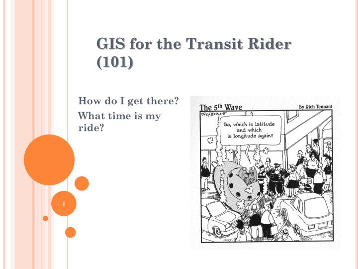
GIS for the Transit Rider (101). How do I get there? What time is my ride?. Abstract. Palm Tran will be soon unveiling two on line trip planning customer service products: Google Transit InfoPoint (from Avail Technologies). Google Transit.

E N D
GIS for the Transit Rider (101) How do I get there? What time is my ride?
Abstract • Palm Tran will be soon unveiling two on line trip planning customer service products: • Google Transit • InfoPoint (from Avail Technologies)
Google Transit • A Google trip planning product available in nearly 500 cities including Miami (MDT), Fort Lauderdale (BCT), SFRTA (Tri-Rail), Gainesville (RTA), Tampa (HART), Pinellas County (PSTA) and coming soon to Palm Beach County (Palm Tran). • Through the web or a smart phone, anyone with access to Google Maps can get step-by-step directions (auto, walking, bike, and now Transit) between any two points in the Metropolitan Area. • Anyone can find transit stops and view schedule information. • The service calculates route, transit time, cost, and can compare the transit trip to one using a car. • Routings are displayed on either a map or satellite image.
Get Directions • Select “By public transit” icon • In “A” enter from or origin • In “B” enter to or destination • Select Leave now, Depart At, or Arrive by • Select date and time • Select “Get Directions”
View & Select from Transit Directions Options • Select best option for the Rider • Get step-by-step transit directions in text and on the map
Multi-Modal Trip Planner • Clicking on Modes opens additional information • Walk (with details) • 1. Head west on Miad Cir 0.3 mi • 2. Slight left toward Miad Cir 95 ft • 3. Sharp left toward Miad Cir 98 ft • 4. Continue straight onto Miad Cir 453 ft • Bus (Miami Dade Transit) • Train (with additional Tri-Rail information link) • Bus (Palm Tran) • Fare Information could also be available
m.google.com/maps • Available with various options for: • Android • BlackBerry • iPhone • Nokia • Windows • Other
But what about Real-Time Information… • So what if its late? • What alternatives do I have? • When is my bus arriving? • If I get delayed, when is the next bus after this one? • Will it be on time? • What is the bus number?
InfoPoint (from Avail Technologies) • A customer information service display designed for those who know their bus route and bus stop but want to have real-time information. • Accessed through the web or a smart phone, Riders can access the schedule and estimated departure time for the next three available trips. • Through an interactive display, Riders can view the location of the associated buses in either a Google Map, Satellite or Hybrid image. • Limited real-time schedule information display signs are available at major transit hubs.
Select Route • Route Name identifies Origin, Desitation, and Major Routing • Route Numbers and Colors are consistent with System Map • Public Messages (hurricanes, closures, major service changes)
Selecting Bus Stop from List • Selecting WPB ITC @ BAY G inserts Map Balloon • Bus Stop, Route & Destination • Times (SDT & EDT) • Transfer Options
Selecting Bus Icon on Map • Selecting Bus Icon inserts Map Balloon • Bus Number • Route Name • On-Time Status • Last Bus Stop & Direction NEI-SWO North/East Inbound South/West Outbound
Smart Phone Applications • Fully Functional: • Android • iPhone • Estimated Departure Times Only: • BlackBerry • Nokia • Windows • Other
Dynamic Message Signing • Official Palm Tran Clock Time • Scrolling Route Number and Name • Associated Estimated Departure Time • Audio Messaging • Various Time Point locations along • Route 1 including WPB ITC • PBC Train Stations (except Lake Worth) • Other selected major time points
More Information Google Transit www.google.com/intl/en/landing/transit/ Avail Technologies 2026 Sandy Dr State College, PA 16803 (814) 644-8684 www.availtec.com