Download
1 / 61
610 likes | 740 Views
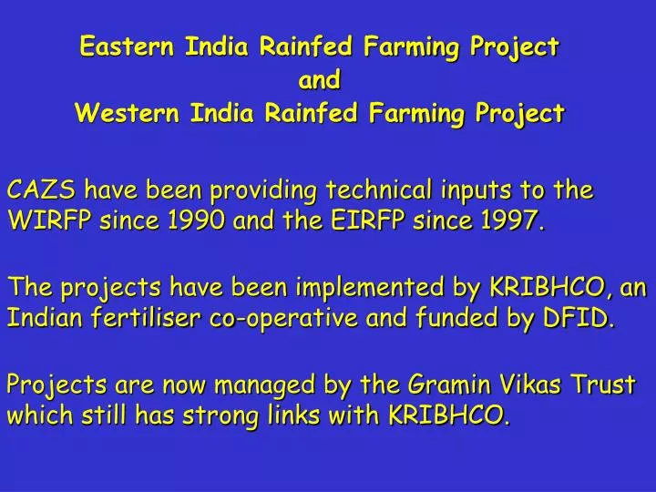
Eastern India Rainfed Farming Project and Western India Rainfed Farming Project. CAZS have been providing technical inputs to the WIRFP since 1990 and the EIRFP since 1997. The projects have been implemented by KRIBHCO, an Indian fertiliser co-operative and funded by DFID.

E N D
Eastern India Rainfed Farming Project and Western India Rainfed Farming Project CAZS have been providing technical inputs to the WIRFP since 1990 and the EIRFP since 1997. The projects have been implemented by KRIBHCO, an Indian fertiliser co-operative and funded by DFID. Projects are now managed by the Gramin Vikas Trust which still has strong links with KRIBHCO.
Project has concentrated efforts in areas which have large populations of "scheduled" tribes, especially the Bhil and Bhilala who are among the poorest people in India.
WHY THE BHIL AREA? • Environmental degradation well documented • Neglected by government development projects • Sociologically, relatively homogeneous Scheduled Tribe area • KRIBCHO wanted to improve PR and a project in Rajasthan Gujarat and Madhya Pradesh & main plant in Gujarat
The Bhils • Pre-Aryan / “aboriginal” • Progressively retreated to hilly areas • Hinduisation process • Chief deity: Mata = mother, Sacrifices • Ram = Sun god • Witches, ghosts, spirit possession, evil eye • Re-incarnation
Group of people of the Bhil tribe, some of the beneficiaries of the project.
Causes and effects of land degradation and soil erosion in the area • very undulating topography; • naturally low organic matter content in the soils; • increasing land pressures which have reduced land husbandry practices such as green manuring; • soils on the higher slopes having high silt and fine sand fractions, and vertic soils in valley bottoms having high proportions of easily dispersed (montmorillonitic) clay;
extensive deforestation in recent decades associated with population increases and increased urban demand for timber and fuelwood; • increasing population density that has led to smaller farm sizes which are consequently farmed more intensively, increased cultivation of steep hill slopes and “encroachment” onto Forest Department land; • mismanagement of forest areas - usually in upper parts of catchments.
Observed erosion rates vary from 1 m3 ha-1 yr-1 for some stony soils on slopes of 4 to 18% under maize to 130 m3 ha-1 yr-1 for red brown clay loams on slope of 4 to 5% under dryland rice
Project Approach • Participatory - farmer control; • Hamlet level groups; • Village level artisans and project • Community Organisers; • Focus on the poorest; • Enhancement of the status of women.
Common Problems Identified by Villagers • Access to water for domestic and irrigation • Fuel wood • Soil erosion and decline in fertility • Poor crop production • Health • Education • Shortage of food and need for migration • Indebtedness
Project Activities • Savings & Credit groups • Soil and water conservation; • Joint Forest management & Patch Plantations; • Participatory Varietal Selection & Breeding; • Innovative agronomy such as seed priming; • Energy saving stoves; • Wells & pumps - domestic water; • Pumped irrigation from rivers.
Implementation of SWC component • Issue focussed PRAs • Jankar selection and training • Discussions about approaches to be adopted - subsidy problem • Field/farm surveys with jankars, COs, engineers • Group discussion of proposals on a farm by farm basis • Reporting (internal / external) • Impact analysis and ongoing data collection
Staffing • Management & administrative staff • Specialists in other disciplines • Field Specialists (SWC) - M.Sc. & AFCs • Community Organiser • Community Organiser/Field Officer (SWC) • Jankar (men & women) • Technical advisors (DFID / UoW - now W.S. Atkins)
WATERSHED APPROACH ? • Upper parts of catchments belong to FD • Watersheds do not correspond to social groups • Variation in willingness of farmers / groups • Much grazing land (CPR) is also in upper catchment • farmers see benefits more clearly on cropped land • communal work needs more mature groups • Micro-watersheds are defined in IF-PRAs • Cropped land furthest up catchment treated first • Partial watershed approach
Issue focussed PRAs • Participatory soil mapping using revenue maps or participatory maps of village • Discuss problem soils and sites in the village and range of solutions • Agronomic and biological approaches • Group organisation and work plan • Water resources - wells, rivers, ponds, etc.
Participatory land type map
Land Use map
Slope and micro-watershed map generated by farmers
Techniques used - soil and water conservation • Field bunding • Contour bunding (0.5 m high & 45° sideslope) • Graded bunds • Grass and trees on bunds • Green manuring • JFMs • Rehabilitation of common property resources
Other associated activities • Well construction & deepening • Small earth dams and farm ponds • Improved wood stoves • New varieties that take advantage of improved moisture conditions