Download
1 / 18
180 likes | 364 Views
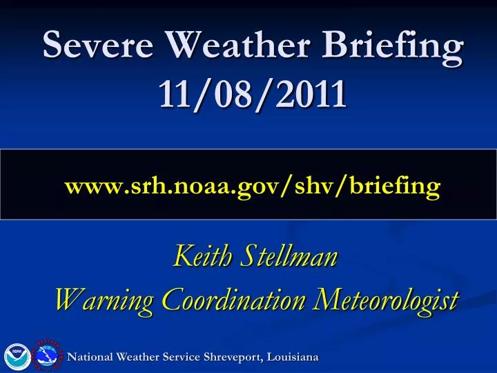
Severe Weather Briefing 11/08/2011 www.srh.noaa.gov/shv/briefing. Keith Stellman Warning Coordination Meteorologist. National Weather Service Shreveport, Louisiana. Overview. This afternoon through tonight: Setup: Strong upper level system passing to the northwest of the region

E N D
Severe Weather Briefing11/08/2011www.srh.noaa.gov/shv/briefing Keith Stellman Warning Coordination Meteorologist National Weather Service Shreveport, Louisiana
Overview This afternoon through tonight: Setup: Strong upper level system passing to the northwest of the region Strong coupled jet stream Cold front moving in from the west Ample wind shear for rotating storms Impacts Damaging winds A few tornadoes possible Heavy Rain Hail a lesser threat National Weather Service Shreveport, Louisiana
Currently L Area of focus National Weather Service Shreveport, Louisiana
Radar @ 930 • Some warnings for north end • Expect lower end to fill as day progresses
Current Instability • Best area (Pink) just west of the region • Dashed blue lines is CAP strength… stronger east
Forecast Instability @ Noon (GFS) • Best area (Pink->Red) I-49 and west • Peaks of near 2000 J/KG (double what is needed across Deep East TX
Low level wind shear (0-1 KM) (noon) • Lowest level wind shear… used for Tornado • Values >90 needed. • Values peak over 200 (white)
Upper level Jet (250 mb) Note the divergent winds 2 Jet streaks working east…putting us in the favorable region
Tornado • - Best support (proximity to surface low NE TX, SE OK, SW AR • - Best instability and sufficient shear located across Deep East TX -> NW LA Area we need to watch • A few Tornadoes possible • Most likely embedded within the line that develops • Most likely rain wrapped
Wind Damaging Winds along a squall line Look for bows in the line
Noon • Activity beginning across the East TX/ SE OK and portions of SW AR • Front approaching L
6 PM • Heavy Rain bisecting the region • Front ~LA/TX line L
Midnight • Heavy rain ending across the NE LA/ South AR • Front ~Monroe - >Jena L
Computer Model Rainfall Forecast (GFS) • Swath of 2 + extending from Lufkin -> Shreveport -> Homer • Due to added instability and added lift from jet
Rainfall Forecast (Late Monday -> Early Wed) Some isolated totals near 3” are possible from East TX -> North LA/South AR. 1.00” - 1.50” 1.50” – 2” 1.50” – 2” 1.00” – 1.50”
Summary This afternoon into tonight: Greatest risk area from SE OK/SW AR - > East TX Greatest threats for tonight: Damaging Winds Isolated tornadoes Heavy Rain Some uncertainty exists with just how far south storms initiate in East Texas. However, best instability lies there and will need to be watched. National Weather Service Shreveport, Louisiana
NEXT CONFERENCE CALL: Thursday 11/10 @ 10 AM www.srh.noaa.gov/shv/briefing National Weather Service Shreveport, Louisiana