Download
1 / 43

E N D
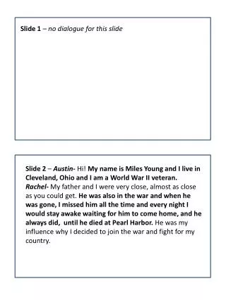
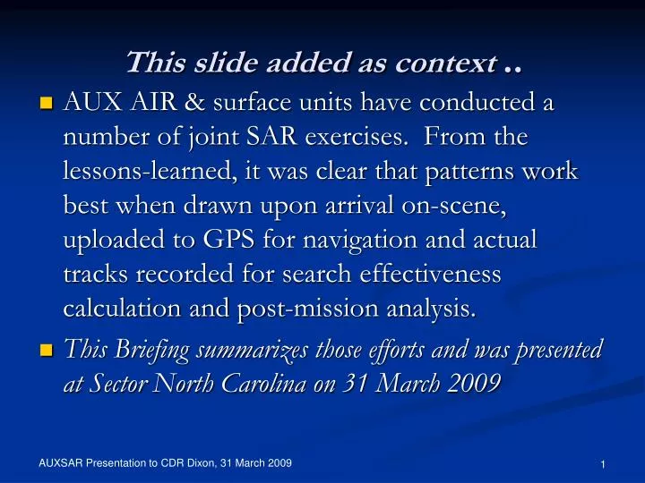
This slide added as context .. AUX AIR & surface units have conducted a number of joint SAR exercises. From the lessons-learned, it was clear that patterns work best when drawn upon arrival on-scene, uploaded to GPS for navigation and actual tracks recorded for search effectiveness calculation and post-mission analysis. This Briefing summarizes those efforts and was presented at Sector North Carolina on 31 March 2009
AUXSAR Review Jeffrey F. Dixon, CDR USCG Chief of Response Sector North Carolina 31 March, 2009 Auxiliarists Ken Link Dan Dawson Dan Meigs
Overview • Background • Objective Today • Surface/Air SAR-Xs • Lessons Learned • Software & Interface Developed • Design Reviews • Conclusions
Objective Today • Surface/AIR “X”s verified AUXSAR • Ultimately, the CG must concur that: • Calculations are correct • Patterns are practical & effective • Produce & document superior search effectiveness • Consistent with Policy • May be distributed for wide use ..
Surface/Air Operations Xs • 33429/33092/SWB Cooperative • 3 Surface/Air SAR-Xs, manual patterns
Surface/Air Operations Xs .. more Oak Island SAR-X: 35190/N792JH, SNC Pattern Precision rendezvous: 47287/N792JH off Masonboro Inlet
Surface/Air Operations Xs .. more • “SARCON” remote control of SRU with DSC • Surface/AIR SAR training session: ILM
Surface/Air Operations Xs .. more • “Quick Look” DSC • AUXSAR Patterns to GPS, 2 A/C, Beaufort
Surface/Air Operations .. more Div 10&20 SARCON • CG 47’ Pattern
Lessons Learned • Search Planners .. define search areas (SA) • Routes can’t be sent or loaded to GPS • Only SRUs arriving on scene know local conditions • Situational awareness critical but easily lost • Position report requests are interruptions • DR navigation consumes CR • Standard patterns designed for simplicity • Set/Drift quite different for target/SRU • Actual tracks not recorded
Lessons Learned –Cont’d • Many patterns often needed in a Case • Rejected target, recourse is back to CSP/restart • Target vessel CR becomes PIW search • Vessels and aircraft vary only by speed/altitude • Shock, vibration, noise, pitching environment • PROPOSAL: • PATTERNS ON-THE-FLY
Lessons Learned ..Summary • GPS patterns superior to DR • Patterns must be adapted on-scene • Drawn on-the-fly & uploaded to GPS • Pilots/Helmsman fly them precisely • Cockpit workload is reduced • More eyes for visual search • Actual tracks measure search effectiveness
We have .. • Adapt patterns from SA • Draw patterns on-board & on-scene • Upload to GPS • GPS projected path mode provides exact steering • Real-time tracking/actual tracks recorded • AUX: lowest cost, already available equipment • No proprietary solutions • Software we write/control/expand
Minimal Parameters • SAROPs creates SAs • On-scene SRU needs only: • CSP • Axis • Long Leg Length • Track Space • First Turn To • Legs
Calculations Run Modes: arrival shown Stopwatch Wall Clock GPS
Software & Interfaces • AUXSAR • Route for GPS upload via GPS Utility (.sar) • Google Earth (.gpx) • GPS input for real-time tracking • Capt’n (.txt) • GPS Utility ($60 qty of 1) • GPS up/download • Real-time tracking/log • Extensive external interfaces
Position Reporting • FlightAware.com • DSC Polling • AUX Shore Radios • AUX Vessels • AUX Aircraft • AIS • Two AUX Receivers • CG may operate • “in the clear” • “APRS” Possible
AUXSAR Modes of Operation Onboard: “AUXSAR” PC SRU GPS SNC SAROPS SA Pattern (Route) Current Position “SARCON” (“GCI”) to SRU, DSC Position Verification Helm Instructions SRU DSC GPS SNC SAROPS “AUXSAR” PC Shore Station DSC Radio DSC Polls GPS
Results: GPS Routes • Routes (offshore ATON) • Standard SAR Patterns • Features & Special Patterns • SARCON (“GCI”) • IP • Turn Points (as SR Turn GPS WPTs) • Optimized VS Legs • Short TS for high-speed or slow turning SRUs • Pylon Search • “Auto” Square at end of VS first Set Leg
Situational Awareness • Multiple Patterns
Realization .. • When steering from GPS • Simple (DR) patterns no longer necessary • Can be as complicated as they need to be .. • Courses aren’t needed • .. steer to the WPT and make a SR Turn.. • Speed doesn’t matter • Set and drift immaterial • Helmsman concentrates on just one task • Everyone else is “eyes out” searching
Features & New Patterns • Draws Standard Sector, Parallel, Square • Features • Initial Point • Turn Points • Sector Entry Leg • Short-TS patterns in large diameter-turning SRUs • Gunship Pylon Turn Pattern • Down-Set VS Modification to SS • Set & Drift/CTS & SOA
Initial Point Features: CSP SRU IP
Turn-Points Features: Standard Rate Turn & Speed Turn “Advance”:
Sector Entry Leg Features: From SWB to CSP then WPT “1” Redrawn with WPT “5” Now as “0”
Set and Drift Features: • PS: • Axis: 045° • Speed: 6 kts • Leg: 3 nm • TS: 1 nm • Set: 045° • Drift: 3 kts • (exaggerated for illustration) • CTS/SOA • WIP ..
Special Patterns: Gunship Pylon .. area Leg Length is distance between WPTs
Test Results • First Light off Ft Macon • 10 nm, 0.1 nm TS, 130 kts SRU • CG 47230 DR/GPS
0.1 nm TS, 130 kts Special Pattern:
47230, 10 Feb 2009 1 nm VS/12 kts; Set & Drift 1.2 kts @ 110° By DR As GPS Route
0.1 nm TS, 12 kts Special Pattern: 1 2 4 3
Search Area/Pattern Drawn as Pattern Drawn as Search Area
Conclusion • Exercise Lessons Learned drove requirement • Software/Interfaces Completed • Verification through underway missions We believe it works..