Download
1 / 48
480 likes | 486 Views
Join our Cartography Salon session to learn about mapmaking steps, tools, common features, and map judging. Get tips to improve your mapmaking skills.

E N D
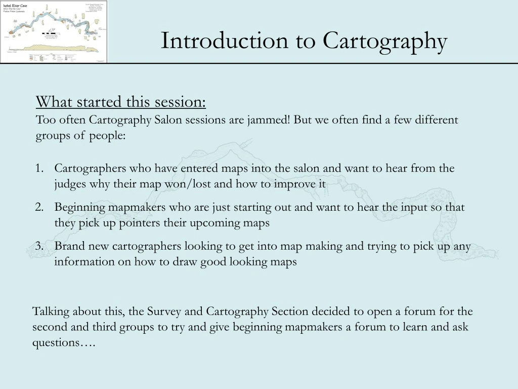
What started this session: Too often Cartography Salon sessions are jammed! But we often find a few different groups of people: • Cartographers who have entered maps into the salon and want to hear from the judges why their map won/lost and how to improve it • Beginning mapmakers who are just starting out and want to hear the input so that they pick up pointers their upcoming maps • Brand new cartographers looking to get into map making and trying to pick up any information on how to draw good looking maps Talking about this, the Survey and Cartography Section decided to open a forum for the second and third groups to try and give beginning mapmakers a forum to learn and ask questions….
What we hope to do today: • A quick rundown of the steps of mapmaking (AFTER the survey is done!) • A discussion of some of the tools available • Common features of a map • How maps are judged in the salon. (We add this not to make the point that all maps should be judged in competition, but share those features that make maps easier to read and understand • Look at some examples of maps here • Head out to the Map Salon and look at more examples • Make Cartographers in the S&C Section more accessible
Quick Rundown on Mapmaking steps • Clean Notes! • Enter notes in survey program to reduce data • Get lineplot • Import lineplot into drafting program • Scan in notes/ sketch • Draft details • Label and Final Prep • Print
Reduce the data • There are many way to reduce data • - Hand • - Graphically • But there really is no better way then via computer and one of the many free/low • cost programs available! • - Compass • - Walls
Compass: - Excellent graphical presentation - Well supported - Easy to use - Shareware ($25)
Walls: - Excellent error detection - SVG roundtripping - Free !
For better or worse the day of hand drawn computer maps is coming to a close
There are a LOT of reasons for this: - Better and cheaper computers - Easy and powerful Software - Access to good color printers - Easily accessible formats (JPEGs, PDF) to share data and maps
And the maps themselves!!!: - Better Lineweight control - Color! - Typesetting And most of all - Correctable - Updateable
A quick overview of Computer Graphics Raster Graphics is a grouped collection of individual dots (pixels) When areas are picked and moved, everything goes. There is no difference between different parts Raster Graphics So individual features can be moved as a whole In vector graphics, shapes and lines are described by formulas Vector Graphics
Some popular graphics programs : Vector based software Raster based software - Macpaint - MS Paint - Freehand - Corel-Draw - Autocad - Xara
Lets Talk about Map Components We will use the Judging sheet as a guideline, not because all maps can or will be judged, but because it is a good reference for making good looking and usable maps. The closer we can follow these recommendations the more the map will stand out as a quality work
Cave Map Required Components: 1) Cave Name Seems Obvious, but there are some rules! - No Abbreviations - Location information (usually County and State) - Graphical hierarchy (should not be too big or small, but should stand out) - Font sizes should emphasize Name - Cave names are usually not underlined
Cave Map Required Components: • 2) Entrance • We need to know where the entrance is – in larger caves this is harder then you may expect, especially to those unfamiliar to the cave • - Clearly marked • - Stand out • - If the map is just a section of the cave, then the connection to the rest of the • cave should be clearly marked • - Entrances should be marked with drip line symbol
Cave Map Required Components: • 3) North Arrow • All maps need a North Arrow! • - Clearly marked as to Magnetic or true North. • - If Magnetic is used, a declination should be provided and dated • - If possible, both a true and Magnetic north arrow can be displayed • - Should be long enough to scale off of • - Not too ornate • - Best if it points in an ordinal direction of the paper the map is on (up, down, • left or right)
Cave Map Required Components: • 4) Scale • All maps need to have some kind of scale so that we know how large the cave is, how big the passages, and so on… • - Should be a Bar scale of some type • - Scaled measurements such as 1”= 50’ should be avoided. As the maps are • reproduced these can lose their meaning • - Units should be included, 2 bars (Metric, English) can be shown if desired • - Not too ornate nor should it overpower • - Should be rational to the size of the map
Cave Map Required Components: • 5) Vertical Control • Vertical Control is necessary to show the vertical extent of the cave – due to the 2-dimentional nature of paper maps, ,this is the most difficult to visualize, and thus MUST be added in some way to make the map useable • This seems obvious, but is one of the MOST forgotten component, and will often disqualify maps in competition • There are two widely used methods:
Cave Map Required Components: 5) Vertical Control (Cont.) Vertical Symbols - Numerical symbols on the plan view denoting distance above or below a certain spot (usually the entrance) called the Datum - Datum MUST be labeled - Units must be shared - All vertical extent and changes should be shown, such as pits, ledges, ceiling heights, water depth - Symbols should be shared in Keys - Can use place outside the map and use leader lines to show location of control, or place within map
Cave Map Required Components: 5) Vertical Control (Cont.) Profile - Usually shows a profile view of the cave - Should include a Vertical Bar with ‘easy’ to read divisions - Units must be shared - Type of profile should be shared (projected, idealized….)
Cave Map Required Components: • 5) Vertical Control (Cont.) • Other types of vertical control are acceptable as long as they are clearly explained and serve the purpose of determining the vertical run of the cave
Cave Map Required Components: • 6) DATA!! • Several Pieces of data MUST be included to finish out the map: • - Date of the survey • - Cartographer • - Survey group or Project • - Class (type) Of survey • Additionally there are several other pieces of data that can be shared to help the understanding of the map • - Length, depth • - Survey crew • - Historical notes
Cave Map Required (?) Components: 7) Symbol Information Symbols used in the map should be explained. Some groups use standard symbols and do not add a legend. This is fine as long as the symbol set used is standard and shared (NSS, MSS ect) However most cartographers add a legend (or key) to the map to explain what the symbols used mean. This is a great way to add more visual impact to the map but does come with some rules: - Every symbol should be detailed - Should be clear, easy to understand, and not crammed or cluttered
Cave Map Required (?) Components: • 8) Cross Sections • Who doesn’t love cross sections?. • Cross sections should be used liberally to explain what the passage is doing. However it can be a complex dilemma to get as much detail in without cluttering the map. • Likewise, complex cross sections can add a lot to the map if done well. • Cross sections should: • - either be scaled the same as the plan, or clearly called out as different • - Should have tic lines showing where they are being drawn in the cave • - Tic Lines should not contact map or cross section • - Should show direction sketcher is facing when drawing and up direction • - Detail in cross section should match plan • - Avoid gutless cross sections, don’t miss the complex areas! • - Adding bedrock symbols can help cross sections stand out • - Can be drawn Separate from plan – but must be located with labels
We have talked quite a bit about the components that make up a good map. But anyone will tell you that a map is more then its components, it is the quality of those components and how they are laid out! Warning - quality is in the eye of the beholder, the following is subjective and highly opinionated
Cave Map Quality: • 1) Drafting Quality • Its All about the Map! • Without a quality representation of the details of the cave, everything else is icing on a poop cake! • - Depends on the quality of the survey notes, You will become a better • surveyor after drawing your first few maps. Work with your surveyors to • maintain a level of detail • - Represent the cave as it really is, try to stay away from formalized • representations • - Take your time to add the details • - However, especially with computer aided drafting, it is easy to add to much • detail. Zoom out to presentation level and check that your detail is not too • dense. Remove some detail if necessary
Cave Map Quality: 1) Drafting Quality (cont) - The amount of detail should be consistent trough-out the map - Floor composition should be called out graphically (or with notation) - Drafting quality should be consistent and good with no gaps, blobs, smudges, or the computer equivalent - Print quality should be good too! A badly printed good map, is still a bad map
Detail too dense Detail Cleaned up Too little detail
Cave Map Quality: • 2) Line Weight Hierarchy • There should be hierarchy used in line weights in the drafting of the details • - Heaviest weight for the walls • - Next lighter for geology/ geological details in cave • - Lightest for details
Cave Map Quality: • 3) Component Hierarchy • Just like details in the Cave Drawing, other components also share a hierarchy • - most important things should be bolder • - Cave Name • - Location • - North Arrow/ scale • - Entrance • - Other cave information
Cave Map Quality: • 4) Balance and Layout • All this talk of detail and hierarchy lead up to one thing – it the map useful, and is it ‘pleasing’ to look at? • Good Maps blend detail and usefulness with a good balance and layout so that it is easy to use as well as something ‘more’ then a collection of details • Balance and Layout is hard to talk about – Lets give some examples
- No Title Hierarchy - Uneven Lettering - Doesn’t fit on Paper very well – Crammed in - No vertical Control - Entrance same font as other names - Cave is lost on page
Good - Good title Hierarchy - Vertical Control - Too Much information thrown in between profile and map - Once again cave gets lost
Better - Cave draws eye, and stands out - But still a lot of white space - Downward facing north arrow?
Even Better - Map fills Page - Cave stands out - Vertical Profile
Ribbon Winner - Color - Striping