Download
1 / 10
100 likes | 118 Views
This chapter explores the landforms, water systems, and climate patterns of Europe, including the diverse peninsulas, mountain regions, plains, and natural resources. It also examines the vegetation types and climate variations across different regions of Europe.

E N D
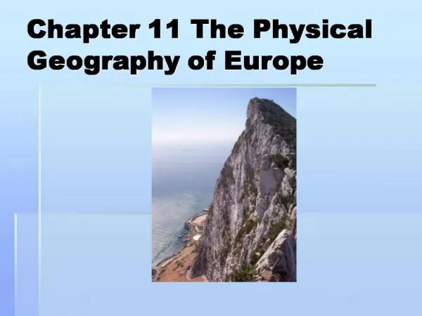
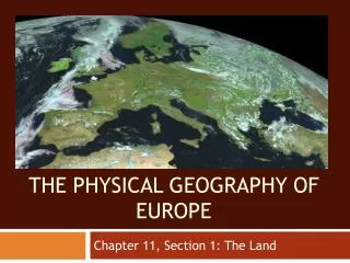
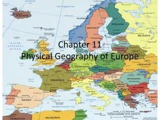
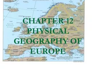
Chapter 11 The physical geography of Europe
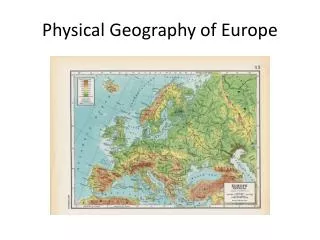
Sec. 1: The land • Europe and Asia share a common land mass called Eurasia. • Europe= 2nd smallest continent • Long irregular coastline that touches numerous bodies of water • most of Europe lies within 300 miles of a sea coast
Sec. 1: The land • 25 & of the Netherland lies below sea level • Dikes- large banks of earth & stone that hold back water. • Dikes help reclaim new land from the sea. These lands are polders, once they’re drained they’re kept dry by use of windmills.
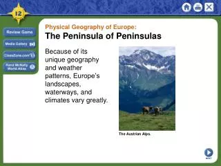
Sec. 1: The land • Europe is a large peninsulas made up of smaller peninsulas. • Far north= Scandinavian Peninsula • Glaciation=process in which glaciers formed & spread over the peninsula. • Carved out long, narrow, steep-sided inlets called fjords (fee-AWRDZ) on the Atlantic coastline. Map pg 273
Sec. 1: The land • North Sea=between Denmark & United Kingdom • Iberian Peninsula= extends of the southwestern edge of Europe, home to Spain & Portugal • Apennine Peninsula= home to Italy, extends like a giant boot into the Mediterranean Sea. • Balkan Peninsula= located in southeastern Europe, bounded by Adriatic & Ionian Seas.
Sec. 1: The land Mountain Regions • Alps= created by glaciers & folding, Mont Blanc, highest peak of the Alps. • Major rivers include Rhine & Po, originate in the Alps. Plains Region • North European Plain= southeastern England & western France, eastward to Poland, Ukraine & Russia. • Loess= fine, rich, windblown soil
Sec. 1: The land Water Systems • Flow from inland mountain to highland to the coast. • Navigable canals & rivers • Rhine is most important river in western Europe. Flows from Swiss Alps through France & Germany. Natural Resources • Coal, iron ore, bauxite, zinc, & manganese, natural gas.
Sec. 2: Climate & Vegetation Western Europe • Gulf Stream & North Atlantic Drift bring warm waters to from the Gulf of Mexico. Trees & Highlands • Natural vegetation includes deciduous (lose leaves) & coniferous trees. • Timberline= the elevation above which trees cannot grow. • Foehns (FUHNZ)= dry winds • Avalanches= destructive masses of ice, snow, & rocks sliding down mountain sides.
Sec. 2: Climate & Vegetation Southern Europe • Mediterranean= warm dry summers, mild rainy winters. • Mistral= strong north wind from the Alps, blasts bitterly cold wind to France. • Siroccos (suh-RAH-kohs)= high dry winds from N. Africa • Chaparral= shrubs or small trees Eastern & Northern Europe • Humid continental-cold, snowy winters, hot summers • Permafrost= soil that is permanently frozen below the surface.
references • http://www.nonformality.org/blog/wp-content/uploads/2007/12/90-small.jpg • Boehm, Ph.D., Richard G.. World Geography. TX. Columbus: Glencoe/McGraw-Hill, 2003.