Download
1 / 17
170 likes | 197 Views
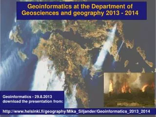
Join our international Department of Cartography and Geoinformatics to explore educational and scientific research activities in geodesy, cartography, and geoinformatics. Discover specialized programs in thematic cartography, GIS mapping, and remote sensing. Engage in GIS technology development and satellite image interpretation to enhance adaptive landscape systems in Kazakhstan. Benefit from our partnerships with prestigious institutions worldwide and gain hands-on experience in geocamera technology and digital cartography.

E N D
Educational-methodical International Social-educational ACTIVITIES OF THE DEPARTMENT Text Scientific-research
PhD Doctorate Bachelor Magistracy 5В071100 – Geodesy and Cartography 6М071100 – Geodesy 6М074100 – Cartography 6D071100 – Geodesy 6D074100 - Cartography Educational-methodical activity Specialty
Bachelor Magistracy Doctorate Cartography, Geoinformatics, Applied Geodesy, Space Geodesy and Cartography Thematic Cartography, Geographic Information Systems, Marine Geodesy Remote sensingLand learning paths
GIS mapping and remote sensing Geodesy, photogrammetryand digital cartography Geocamera Educational and Research Laboratory:
research directions Ecological and geomorphological system platform denudation plains arid zone of Kazakhstan GIS mapping of geosystems GIS technology with interpretation of satellite images with spatial analysis of semi-deserts of Kazakhstan for the development of adaptive-landscape system of agriculture
Scientific Projects and Researches 5 3 TEXT 1 4 2 Develop GIS technology using satellite image interpretation in spatial analysis of semi-desert of Kazakhstan for the development of adaptive-landscape system of agriculture Erasmus Mundus- gSmart Spatial ICT Infrastructures for Smart Places - joint project coordinator 2. 543720-TEMPUS-1-2013-1-DE-TEMPUS-JPCR "Strengthening education in space-based remote sensing for monitoring of eco systems in Israel, Azerbaijan, Kazakhstan" Development of methodological foundations of geography and GIS spatial analysis for creating adaptive-landscape system of agriculture in Kazakhstan Ecological and geomorphological system platform denudation plains arid zone of Kazakhstan Modern relief-forming processes in the oil producing areas of the West Kazakhstan
international cooperation • Salzburg University, Centre for Geoinformatics • Free University of Amsterdam • Michigan Technological University • University of Stuttgart • SSUGT "Siberian State University of Geosystems and Technologies" • West - Hungarian University • Moscow State University of Geodesy and Cartography • Research geodetic, topographic and cartographic Institute of the Czech Republic
Partnerships with academic and industrial organizations Institute of Geography Institute for Space Research Institute of Ionosphere Institute for Space Applications and Technology State Institute of Agricultural aerofotogeodezicheskih research
scientific internships 35 25 30 man 2016 2017 2015 year
academic Mobility 17 25 27 man 2017 year 2015 2016
Students' scientific circles Field of study Geodesy Photogrammetry SURVEYOR WMC Remote sensing Field of study
Student Start up company «geokart» LLP «GeoKart» - geodesic company performing a wide range of engineering and geodetic works, as well as surveying, mapping and land surveying work.