Download
1 / 33
330 likes | 421 Views
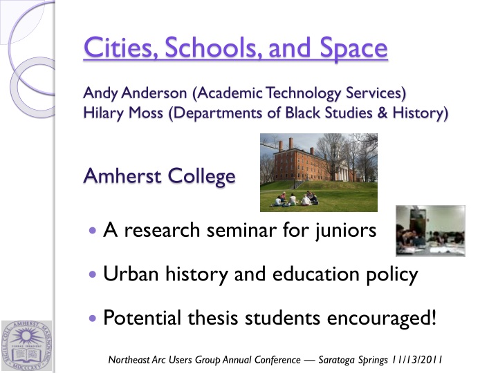
Cities, Schools, and Space. Andy Anderson (Academic Technology Services) Hilary Moss (Departments of Black Studies & History ) Amherst College. A research seminar for juniors Urban history and education policy Potential thesis students encouraged!.

E N D
Cities, Schools, and Space • Andy Anderson (Academic Technology Services) • Hilary Moss (Departments of Black Studies & History) • Amherst College • A research seminar for juniors • Urban history and education policy • Potential thesis students encouraged! Northeast Arc Users Group Annual Conference — Saratoga Springs 11/13/2011
Many Research Methodologies Cambridge Public Library Archival analysis Oral interviews GIS: integrated into the course
Students and parent atTobin School, Cambridge Web Page (Restricted)
In America, a child’s address, more than any other factor, often determines what kind of public education he or she will receive. Black School in Louisa County, Virginia, ca. 1935(LOC/NAACP) Cambridge, Massachusetts Latin School, 1916 (CHLS Yearbook)
De Jure Segregation • Legal segregation of public schools by race banned nationwide in 1954 — separate, not equal • Unequal educational opportunities still exist for a variety of reasons
De Facto Segregation • Federal policies that expanded suburbs and facilitated “white flight” and job loss: • Mortgage assistance • Investment depreciation • Highway construction • Public housing • Urban renewal
Disguised Segregation • Subtle school segregation can still exist: • Shifting school catchment areas • Building new schools in white/upper-class areas at the expense of existing facilities • Educational tracking of students
Cambridge, Massachusetts • Home to two major institutions of higher education: Harvard University and the Massachusetts Institute of Technology. Massachusetts Institute of Technology • A progressive city of 110,000 people
Cambridge Demographics • Black and Hispanicpopulations substantially increased in the late 20th century • 1965 state law:One school alreadyracially imbalanced (more follow).
Cambridge & Controlled Choice • The School Committee temporized for more than a decade, while Boston struggled with school bussing. • In 1981 implemented Controlled Choice: • Completely open enrollment, within 10% of average district-wide minority enrollment. • Parents chose top four preferred schools.
Learning GIS: Basic Skills • How does Cambridge compare to nearbycommunities? • Census.gov1990 - 2010 • NHGIS.org≤ 1980
Tobin School Cafeteria, Cambridge Creating GIS Data from Text Web Page
Extracting Map Features • Interstate 695: The “Inner Belt”through eastCambridge • 1967 map ofproperties affected • Stopped in 1971
What Influences Urban Renewal? • Union • Dissolve • Area Calc
Possible Inputs to Urban Renewal Negro Population 1960 • Data from the 1960 census: • Older Housing (Before 1940) • Housing Value • Owner-Occupied Housing • Negro Population • Data requirements: • Not cross-correlated: use Excel’s CORREL • Spatially auto-correlated: use ArcGIS’ Moran’s I
Student Final Projects Cambridgeport School, Cambridge • 20-30 page paper that mustinclude some GIS, and preferably addresses these questions: • How did race, property, and educational opportunity become entangled in Cambridge? • Why and how did this community respond?
Student Final Projects Peabody School, Cambridge MIT, Cambridge, and Urban Development: Examining a Town-Gown Relationship The Blinding Powers of Race: An Examination of the Effects of Racial Violence and Local Politics on Cambridge’s Pursuit for a Quality Education in Its Secondary Institutions Cities, Higher Education Institutions, and Space (and Space): NASA in Kendall Square, Cambridge “The Dilemma of Difference”: The Bifurcation of Racial and Linguistic Integration and its Effects on Bilingual Education in Cambridge, Massachusetts from 1978-1981
Student Project:The Merger of Cambridge Rindge and Latin High Schools — Emily Pawlowski
Student Project:Erasing the Lines: The Story of School Choice and Housing in the American City— Daniel Alter
Responding to the Inner Belt Hwy.— Yinan Zhang • Proximity Analysis • Tract-based • Two characteristics stands out!
Responding to the Inner Belt Hwy.— Yinan Zhang • Final Alternatives: • MIT doesn’t want the highway adjacent to their campus. • The Brookline-Elm neighborhoods don’t want it, either! • End result: neither is built!
What Influenced School Building?— Josie Fisher • During the 1960s and 1970s: • Six new or reconstructed schools • But many schools in worse condition!
What Influenced School Building?— Josie Fisher • Parcel Analysis • Distribute censusinfo by housing type on parcels
Current Work 1960 • New Discovery:Some block-level data — basicdemographics and housing — available for earlier decades. • Active digitization project, led by JF and YZ.
Future Research… • Block-level data reveals why one School Committee member made an accusation of de jure segregation. • Peabody & Agassiz: “Academically Talented”, many Harvard-associated families. • Russell boundary in place since <= 1946.
Thanks! • Cambridge GIS! Jeff Amero, et al. • Cambridge Assessor • Cambridge Historical Society • MIT Archives • National Historical GIS @ U. Minn • Mellon Foundation