Download
1 / 7
70 likes | 168 Views
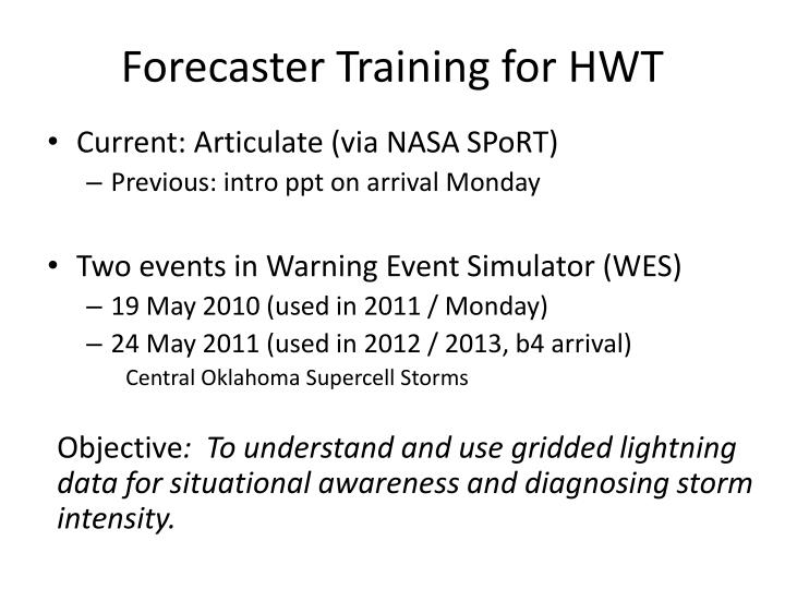
Forecaster Training for HWT. Current: Articulate (via NASA SPoRT ) Previous: intro ppt on arrival Monday Two events in Warning Event Simulator (WES) 19 May 2010 (used in 2011 / Monday) 24 May 2011 (used in 2012 / 2013, b4 arrival) Central Oklahoma Supercell Storms

E N D
Forecaster Training for HWT • Current: Articulate (via NASA SPoRT) • Previous: intro ppt on arrival Monday • Two events in Warning Event Simulator (WES) • 19 May 2010 (used in 2011 / Monday) • 24 May 2011 (used in 2012 / 2013, b4 arrival) Central Oklahoma Supercell Storms Objective: To understand and use gridded lightning data for situational awareness and diagnosing storm intensity.
WES jobsheet: Total lightning vscloud-to-ground (CG) lightning • At what time do you see the first evidence of lightning in any of the storms in Oklahoma? What county? __________ UTC _________________ • What time does the first CG flash occur with this storm? ___________ UTC
WES jobsheet: Lightning combined with multi-radar MESH and single Radar data • Examining this same time (2017 UTC) within AWIPS, use sampling to determine: • The maximum flash rate: __________________ (flashes per grid box per min) • The maximum expected size of hail: __________ (inches)
Additional training available • Via Bruning / TTU • COMET modules • Quick-reference guides • Via Warning Decision Training Branch (WDTB)
AWIPS-2 Thin Client • Allows for a variety of end-users to remotely display AWIPS products • No local AWIPS-2 decoding environment needed • Current end-users • Aviation meteorologists (CWSUs), Incident Support Meteorologists (IMETs), National Centers (NCEP), Hydrologists (RFCs) • Don’t think of Thin Client as just a display tool, think of it as a collaboration tool
The HWT Thin Client Framework • Venue for visualization of ideas • Head start on AWIPS-2 integration • Uniform graphical display of products • Let the HWT system do the heavy lifting GOES-R Partners Training Partners Cooperative Institutes HWTAWIPS-2 Servers Academic Institutions National Weather Service Government Partners
First Implementation Test: Lightning Jump Algorithm PRODUCT DEVELOPMENT • Provide real-time viewing of lightning data and prototype products in AWIPS-2 • Allow product developers and NWS forecasts to view same datasets and provide feedback simultaneously • Quick feedback without a travel budget! • New products immediately accessible for evaluation PRODUCT DISPLAY