Download
1 / 8
80 likes | 98 Views
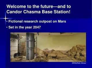
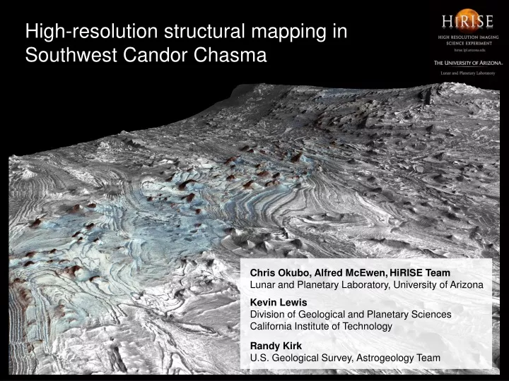
High-resolution structural mapping in Southwest Candor Chasma. Chris Okubo, Alfred McEwen, HiRISE Team Lunar and Planetary Laboratory, University of Arizona

E N D
High-resolution structural mapping in Southwest Candor Chasma Chris Okubo, Alfred McEwen,HiRISE TeamLunar and Planetary Laboratory, University of Arizona Kevin LewisDivision of Geological and Planetary SciencesCalifornia Institute of TechnologyRandy KirkU.S. Geological Survey, Astrogeology Team
Southwest Candor Chasma, Valles Marineris Candor Chasma
Layers contain abundant evidence of past groundwater Study area
History recorded in the rocks • Candor Chasma was a sedimentary basin • Paradox basin, SE Utah analog • Preserves geologic history since 3.7 Gya • Chemistry may record global climate change • Transition to acidic groundwater • Iron cycling in acidic environment
High-resolution topography • Uses two HiRISE images of the same target • Same target • Different look directions • Parallax yields topography • Each image • 27 cm per pixel sampling of surface brightness • Detect features ~27 cm across • Resolve 2D shape of features ~1 m across • Both images combined • 1 m per pixel sampling of topography • Detect changes in elevation ~1 m across • Resolve 3D shape of features 3-5 m across • Unprecedented resolution of geomorphology from orbit