Download
1 / 22
220 likes | 309 Views
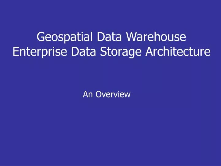
An Overview. Geospatial Data Warehouse Enterprise Data Storage Architecture. GIS Strategy. GIS Standards. GIS Enterprise License. Data AID Strategy. BPR GIS Pilots. Where Have We Been… Where Are We Going?. The Vision. Aug 1998 Revised Dec 2001. Sept 1999. Imp of Geospatial

E N D
An Overview Geospatial Data WarehouseEnterprise Data Storage Architecture
GIS Strategy GIS Standards GIS Enterprise License Data AID Strategy BPR GIS Pilots Where Have We Been… Where Are We Going? The Vision Aug 1998 Revised Dec 2001 Sept 1999 Imp of Geospatial Data Warehouses 1998/2002 1997/2000 Sept 2001 OpenGIS. Enterprise GIS FGDC Sept 2000 Feb 2002
Goals & Objectives of Geospatial Data Warehouse Manage Data as a Corporate Asset • Authoritative source • Seamless • Constantly maintained • Current • Accurate • Nationally consistent • Highly available • Business Continuity How do we manage consistent information in 2700+ Offices?
Major Business Requirements for the • Geospatial Data Warehouse • Maintain an infrastructure that provides the authoritative source for integrated USDA geospatial data • Provide on-line access and delivery of geospatial information to current and emerging programs like the Farm Bill and e-government • Provide high availability of geospatial data • Provide a secure data access mechanism that supports information privacy and security requirements • Provide a mechanism for USDA, National, State and Local data to be made available to the general public, to conservation partners and to third party vendors who support conservation planning • Enhance sharing of program and GIS data among Service Center Agencies
GDW Technical Architecture • Geospatial Data Centers • Geospatial Data Production • Geospatial Data Warehousing • Data Delivery (CD-ROM, DVD, FTP) • Data Marts • Data Delivery for Web Applications • High Availability for Public Access • Secure access • Telecomm Architecture • Encrypted VPN Tunnels • High Bandwidth for Distance Replication
Leveraging Existing Enterprise Components • ESRI • Microsoft (Windows 2000, SQL Server 2000) • Veritas • EAI – Web Farms • WAN Telecommunications Infrastructure • USDA OCIO Security
Enterprise Data Storage Architecture (EDARCH) Storage Infrastructure
EDARCH Goals • Business Continuance • Continuous Data Availability • Failover Facilities • Information Protection • Disaster Recovery • Workload Sharing • Collaboration and Cooperation • Tight Integration with the Web Farms
EDARCH Technical Architecture • Closely Integrated with GDW Architecture • Integrated Requirements • Coordinated Architecture • Combined Procurement Specifications • Recovery Capability • Data Replication • Failover of High Priority Applications • Security
EDARCH Architecture Formulation • Build heavily on GDW Design • Consider Optimum Network Connectivity • Involve Application Managers in Requirements • Requirements Analysis • Technical Architecture • Procurement Specification
GDW Overview Climate NWCC Cadastral/PLS Census Climate Hydrography Hydrologic Units Land Use Land Cover Map Indexes Ortho Imagery Ownership Plants Program Data Soils Topographic Images Transportation Wetlands State/Local Public data NRI NCGC Spatial Data Warehouse Operation Data Sources Data Marts Spatial Data Integration Warehouses Applications Primary Source Secondary Source Farm Loans NASIS Cadastral/PLS Census Hydrography HydrologicUnits Imagery Land Use Land Cover Map Indexes Ortho Imagery Ownership Topographic Images Transportation Wetlands State/Local Public data NRI APFO Spatial Data Warehouse Service Center Conservation SCIMS MDOQ Production Disaster Assistance Soils Digitizing ETL Commodities Field Support/Public Replication Resource Inventory & Assessment Plants Data Access Update Wetland Easements Rural Water & Waste Water State/Local Public Data State Govt,, Partners FSA-RS Imagery KCMO-WF Common Land Unit Rural Housing External Data Sources FC-WF Plants Program Data Soils ETL RD-WF Census External Data Marts Fed. Govt., Partners
The following diagram shows the information flow for the GDW from production to the consumer.
What’s The Big Deal About Web Services?? Soil Data Imagery Soil Data Web Service Imagery Web Service Soil Data Image Data Data Request Data Request Shared Business Processes Application
Web Farms & Data Marts Public Land Survey Soils Hydrologic Units Orthoimagery Common Land Unit Climate Land Use/Cover Digital Raster Graphs Government Units Resource Data Gateway Resource Data Gateway provides Service Centers and the public a “One-Stop” access or gateway to natural resource data including soils, plants, climate, imagery, and maps using the Internet. h Web Farms host web applications and Data Marts serve up data themes and geo-data layers for use within applications or for download via the Gateway. Geospatial Data Warehouses serve as the authoritative source for geospatial resource data used in Service Centers and by the public served up through the Gateway. Data Management and Delivery Geospatial Data Warehouses Web Services Data for Applications Data for the Public • Toolkits CLU • SCIMS e-forms • Loan Eligibility e-FOTG • Soil Data Viewer Performance Measurement • Program Compliance Conservation Easements