Download
1 / 18
180 likes | 314 Views
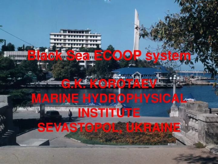
Black Sea ECOOP system G.K. KOROTAEV MARINE HYDROPHYSICAL INSTITUTE SEVASTOPOL, UKRAINE. T5.6 - Regional Black Sea integrated system Korotaev Gennady (MHI) - IMS-METU, IO-BAS, MHI, NIMRD

E N D
Black Sea ECOOP system G.K. KOROTAEV MARINE HYDROPHYSICAL INSTITUTE SEVASTOPOL, UKRAINE
T5.6 - Regional Black Sea integrated system Korotaev Gennady (MHI) - IMS-METU, IO-BAS, MHI, NIMRD Objectives: to build the baseline integrated Black Sea GOOS system made up of a regional and 3 coastal systems: the North Western shelf system, the Bosphorus and Western shelf system and the South coast of Crimea and North East Black sea system, enhance this integrated system by upgrading individual parts of it and provide connections to EuroMISS and demonstration in a target perational period TOP. S5.6.1 - Regional system capacity and TOP experiment Korotaev Gennady (MHI) - IMS-METU, MHI Objectives: Integrate the Black Sea regional system to the ECOOP environment S5.6.2 - Downscaling and upgrades of targeted demonstration coastal areas (North Western shelf system) Nicolaev Simion (NIMRD) - MHI, NIMRD Objectives: Integrate the Black Sea N-W shelf sub-system to the ECOOP environment S5.6.3 - Downscaling and upgrades of targeted demonstration coastal areas (Bosphorus and Western shelf system) Temel Oguz (IMS-METU) - IMS-METU, IO-BAS Objectives: Integrate the Black Sea Bosphorus and Western shelf sub-system to the ECOOP environment S5.6.4 - Downscaling and upgrades of targeted demonstration coastal areas (South coast of Crimea, North East Black Sea) Korotaev Gennady (MHI) - MHI Objectives: Integrate the South coast of Crimea, N-E Black sea sub-system to the ECOOP Environment
TECHNOLOGICAL REALIZATION OF THE SYSTEM
SYSTEM CONTROL MODULE Task group INPUT Task group CIRC-casting Task group WAM-casting Subgroup NOAASST Subgroup ALTIMETRY Subgroup METEO Subgroup OperativeNCEP Подгруппа OperativeNMA Subgroup OperativeNMA NoaaSST AltNc NMAMeteo CalcNMA TuneO1NCEP TuneO1NMA EN NoaaSSTC NCEPMeteo CalcNCEP CalcNMA Task group OUTPUT G2 J1 HorSections Profiles TP VertSections TimeSeries Fields
CIRCULATION MODEL FLOW CHART Management data input Model parameters and climatic data input Model initialization Current velocity vertical component calculation Satellite altimetry Altimetric data assimilation Temperature & salinity calculation NStep=NStep+1 Atmospheric heat and water fluxes NOAA-satellite SST assimilation NOAA-satellite SST Advective & diffusive terms of the current velocities calculation Wind stress Sea level, current velocities horisontal components & energy calculations Temperature, salinity, velocity and sea level Calculations results output NStep=NStepF S T O P
METEODATA SUBSYSTEM FLOW CHART Meteorological data according to NMA & MHI nowcasting/forecasting Wind speed according to NCEP reanalysis data Wind speed according to QuikSCAT-satellite Data unpacking and format conversion Data unpacking and format conversion Data unpacking and format conversion velocity Heat & water Wind fluxes Wind stress calculation Instantaneous fluxes calculations Data units conversions Climatic heat & water fluxes Data interpolation on model horizontal grid Wind stress Heat & water fluxes
VALIDATION OF THE SYSTEM PRODUCTS Anomaly errors
ECOOP Meeting on the Black Sea Coastal Forecasting System Istanbul 15-18 July Goals of the meeting: to describe the V0 of ECOOP coastal forecasting system; to arrange what will be the V1 system; to arrange how to develop the V1 system what can be the validation data base for on-line and off-line validation of the Black Sea coastal system products
V0 coastal forecasting (near-operational) Like POM-model in σ-coordinates NWS Kalamita Bay region Novorossyisk region Romanian coastal region POM-model in σ-coordinates Burgas Bay Georgian region Bulgarian domestic model in z-coordinates Georgian domestic model in z-coordinates
V1 systems of the ECOOP A z o v S e a ~ 1km 430 x 200 ~ 1 km 170 x 270 MHI-1 ~ 1 km 300 x 160 Ro Ru B l a c k S e a 1 km 190 x 170 ~ 1 km 250 x 180 BT Ge Marmara Sea
Basin-scale model Nested model Real time data Parameter selection Archive hydrography Download of boundary conditions Bottom topography Initialization Meteo Basi-scale model Nested model Space SST Space altimetry Visualisation Visualisation 1D ecomodel Visualisation
TRAINING PROGRAM -21-25 January 2008 – training of Russian team; 3-8 March 2008 – training of Georgian team; 24-28 March – training of Bulgarian and Romanian teams
V1 SYSTEM • -OFF-LINE VALIDATION ACCORDING TO WP4 SCHEDULE • -OPERATIONAL AT THE BEGINNING OF TOP • -SIMPLE ON-LINE VALIDATION PROCEDURE • DEMONSTRATION DURING SIX MONTH OF TOP