Download
1 / 12
130 likes | 272 Views
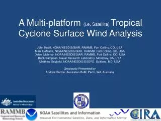
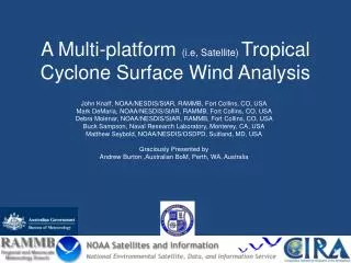
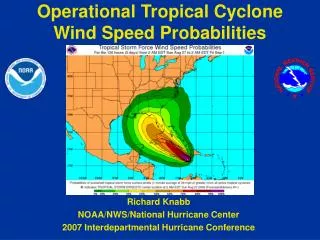
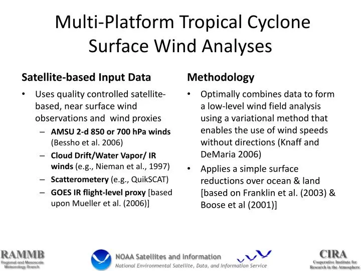
Multi-Platform Tropical Cyclone Surface Wind Analyses. Satellite-based Input Data. Methodology. Optimally combines data to form a low-level wind field analysis using a variational method that enables the use of wind speeds without directions (Knaff and DeMaria 2006)

E N D
Multi-Platform Tropical Cyclone Surface Wind Analyses Satellite-based Input Data Methodology Optimally combines data to form a low-level wind field analysis using a variational method that enables the use of wind speeds without directions (Knaff and DeMaria 2006) Applies a simple surface reductions over ocean & land [based on Franklin et al. (2003) & Boose et al (2001)] • Uses quality controlled satellite-based, near surface wind observations and wind proxies • AMSU 2-d 850 or 700 hPa winds (Bessho et al. 2006) • Cloud Drift/Water Vapor/ IR winds (e.g., Nieman et al., 1997) • Scatterometery (e.g., QuikSCAT) • GOES IR flight-level proxy [based upon Mueller et al. (2006)]
Example: Hurricane Boris (1) GOES-IR Flight-Level Proxy AMSU 2-d 700 hPa Winds
Example: Hurricane Boris (2) GOES winds (> 600hPa) Scatterometery at 700hPa
Example: Hurricane Boris (2) Surface Analysis IR Image
34-kt Wind Radii Best track Wind Analysis
Dynamic MSLP Estimate Best track Wind Analysis
Analysis System With Aircraft Obs. Satellite-Only Satellite+Flight-Level +SFMR
Analysis System With Aircraft Obs. Flight-Level+ Satellite Satellite+SFMR
SFMR vs Flight-Level Winds? Flight-Level SFMR
Some Future Work • Increase the azimuthal and radial resolution of the analysis (1km X 5 deg), decrease the domain (500km) • Determine how to weight the SFMR/Flight-level data in the analysis (when including satellite data) • Center location to better estimate storm relative data locations • Surface reduction of flight-level winds (cf., J. Kepert’s work)
Related References • IR-based proxy winds: • http://rammb.cira.colostate.edu/resources/docs/Mueller_2006.pdf • AMSU - Fixes (CIRA version, run at NCEP): • http://rammb.cira.colostate.edu/resources/docs/Demuth.pdf • http://rammb.cira.colostate.edu/resources/docs/Demuth%20et%20al.%202006.pdf • Conference paper (describing methodology, weights are outdated): • http://rammb.cira.colostate.edu/products/tc_realtime/images/MPSW.pdf • AMSU non-linear balance winds (also run at NCEP) http://rammb.cira.colostate.edu/resources/docs/Bessho.pdf