Download
1 / 3
30 likes | 96 Views
Explore shifts in Bluebonnet Swamp land use over 60 years with detailed mapping and analysis. Discover alterations in forest, agriculture, residential, commercial areas, and water bodies. Gain insights into environmental changes over time in Louisiana.

E N D
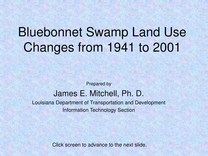
Bluebonnet Swamp Land Use Changes from 1941 to 2001 Prepared by James E. Mitchell, Ph. D. Louisiana Department of Transportation and Development Information Technology Section Click screen to advance to the next slide.
LEGEND Dark Green – Forest Light Green – Agriculture Orange – Open, no cover Pink – Residential Red – Commercial Blue – Water The yellow line delineates the watershed boundary. This is a continuous loop. Click this slide to finish the presentation.
This presentation was prepared by the GIS Unit in the Information Technoloy Section Louisiana Department of Transportation and Development Use the back arrow to leave the slide show.