Download
1 / 18
180 likes | 307 Views
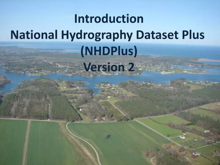
Introduction National Hydrography Dataset Plus (NHDPlus) Version 2. NHDPlus Concepts: Integration of NHD, WBD, and NED. National Hydrography Dataset (NHD). Watershed Boundary Dataset (WBD). National Elevation Dataset (NED). NHDPlus Concepts: Integration of NHD, WBD, and NED.

E N D
Introduction National Hydrography Dataset Plus (NHDPlus) Version 2
NHDPlus Concepts: Integration of NHD, WBD, and NED National Hydrography Dataset (NHD) Watershed Boundary Dataset (WBD) National Elevation Dataset (NED)
NHDPlus Concepts: Integration of NHD, WBD, and NED WBD Boundary “walled” Into Elevation NHD Streams “burned” Into Elevation
NHDPlus Concepts: Link the Landscape to the Mapped Stream Network NHDPlus Elevation Derivatives: Flow Direction Grid to perform “raindrop” transport
NHDPlus Concepts: Link the Landscape to the Mapped Stream Network NHDPlus Catchments: Define the land surface that drains to each stream segment.
NHDPlus Concepts: Link the Landscape to the Mapped Stream Network NHDPlus Catchments in 3D
NHDPlus Concepts: Link Landscape Characteristics to the Stream Network
NHDPlus Concepts: Navigation of the Linear Surface Water Network Susquehanna River Drainage Basin Susquehanna River Main Stem
NHDPlus Concepts: Navigation of the Linear Surface Water Network Stream Drainage Within 50 Miles of the Mouth of the Susquehanna River
NHDPlus Concepts: Network Analysis All Gages on the Susquehanna River
NHDPlus Concepts: Network Analysis • Find the nearest Permitted Discharge. • How long will it take to transport this toxic spill to the nearest downstream drinking water intake? • If we remove this dam, how much usable upstream habitat can the fish access? NHDPlus makes these analyses possible. NHDPlus make them fast and easy to implement.
NHDPlus Ver 2.0: Content • NHD Snapshot • More Names • More Lakes • More than 7500 Isolated Networks Connected • NED Snapshot • Nearly Wall-to-Wall 10 Meter Source Data • WBD Snapshot • Nationally Complete
NHDPlus Ver 2.0: Content • USGS NWIS Streamflow Gage Network Locations – 23,000 in V01 – 30,000 in V02 • Major Divergence Fractions - % of flow down divergent paths • Major Water Flow Additions, Removals & Inter-basin Transfers • TBD – NID Dam Network Locations
NHDPlus Ver 2.0: Content • 2001 National Land Cover • Land Cover • Impervious Surface • Canopy • 1992-2001 Change • PRISM – Temperature (1971-2000) • PRISM – Precipitation (1971-2000) • Annual and Monthly Runoff
NHDPlus Ver 2.0: Tools(Enhanced and New) • Network Navigators • Basin Delineator • Catchment Attribute Allocation and Accumulation • Network/Catchment/Attribute Generalization
NHDPlus Ver 2.0: Flow Estimation • Version 2.0 – Mean Flows - Monthly & Annual • Divergence Fraction • Runoff Estimate • Flow Additions and Removals • Evapotranspiration • Streamflow Gage Adjustments
NHDPlus Ver 2.0: Questions? LDM@Horizon-Systems.com NHDPlus@hscnet.com