Download
1 / 1
20 likes | 41 Views
In this present era, the recent advancements in technology have made aerial surveying as smooth as a cakewalk. Starting from lineof-sight to ultra-high definition imagery and condition surveys.

E N D
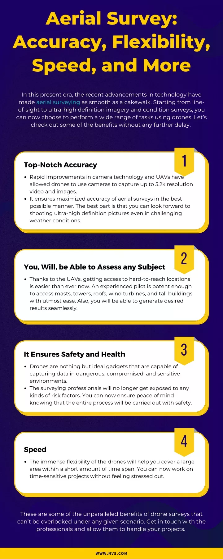
Aerial Survey: Accuracy, Flexibility, Speed, and More In this present era, the recent advancements in technology have made aerial surveying as smooth as a cakewalk. Starting from line- of-sight to ultra-high definition imagery and condition surveys, you can now choose to perform a wide range of tasks using drones. Let’s check out some of the benefits without any further delay. 1 Top-Notch Accuracy Rapid improvements in camera technology and UAVs have allowed drones to use cameras to capture up to 5.2k resolution video and images. It ensures maximized accuracy of aerial surveys in the best possible manner. The best part is that you can look forward to shooting ultra-high definition pictures even in challenging weather conditions. 2 You, Will, be Able to Assess any Subject Thanks to the UAVs, getting access to hard-to-reach locations is easier than ever now. An experienced pilot is potent enough to access masts, towers, roofs, wind turbines, and tall buildings with utmost ease. Also, you will be able to generate desired results seamlessly. 3 It Ensures Safety and Health Drones are nothing but ideal gadgets that are capable of capturing data in dangerous, compromised, and sensitive environments. The surveying professionals will no longer get exposed to any kinds of risk factors. You can now ensure peace of mind knowing that the entire process will be carried out with safety. 4 Speed The immense flexibility of the drones will help you cover a large area within a short amount of time span. You can now work on time-sensitive projects without feeling stressed out. These are some of the unparalleled benefits of drone surveys that can’t be overlooked under any given scenario. Get in touch with the professionals and allow them to handle your projects. WWW.NV5.COM