Download
1 / 24
240 likes | 461 Views
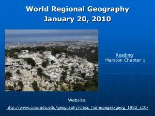
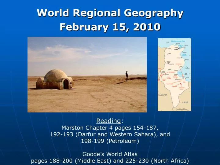
World Regional Geography February 15, 2010. Reading : Marston Chapter 4 pages 154-187, 192-193 (Darfur and Western Sahara), and 198-199 (Petroleum) Goode’s World Atlas pages 188-200 (Middle East) and 225-230 (North Africa). The Middle East & North Africa. Political Boundaries

E N D
World Regional Geography February 15, 2010 Reading: Marston Chapter 4 pages 154-187, 192-193 (Darfur and Western Sahara), and 198-199 (Petroleum) Goode’s World Atlas pages 188-200 (Middle East) and 225-230 (North Africa)
The Middle East & North Africa • Political Boundaries • Physical Geography • Physical Features & Topography • Climate • Land Use • Physiographic Regions • Human Geography • Population Characteristics • Key Concepts • Culture, Ethnicity, and Religion • History • Politics • The Politics of Oil • Economics • International Politics
The Middle East & North Africa • Why group the Middle East and North Africa? • Culture • Islamic Religion • Arabic Languages • Economics • Oil • Environment • Arid • “Middle East” or Southwest Asia
Temperature and Rainfall • Annual Rainfall • 75% of the Region receives less than 10 inches • Some desert areas average less than 1 inch • Mountain (orographic) and some coastal areas account for vast majority of regions rainfall. • Average Temperature • Large temperature variations in desert areas • Radiational cooling • Large variations can lead to wind/dust storms • More humid climactic regions = less extremes • Western Atlas Mountains • Turkey • Mediterranean Coast • Western Zagros & Elburz Mountains
Land Use • Arable Land and Agriculture • Irrigated river valleys, coastline, and mountains • Forested Land: Agriculture and Grazing • Atlas and Pontic Mountians, Southern Sudan
Physiographic Regions • Mountains • Major Ranges • Atlas • Zagros and Elburz • Taurus and Pontic • Asir and Yemen • Important sources of water • Tectonically active • Refuge for minority populations
Physiographic Regions • Plateaus and Coastline • Plateau Regions • Iranian • Anatolian • Coastal Regions • Persian Gulf • Southeastern Red Sea • Eastern Mediterranean • Nile River Delta • Northwestern Africa • More rainfall • Higher population density
Physiographic Regions • Deserts • Sahara • Libyan • Nubian • Arabian (Rub’ al Khali) • Extremely low rainfall • Major temperature variation • Oases • Very low population • Nomadic herders
Physiographic Regions (338) • Riverine Landscapes • Major River Systems • Nile • Tigris and Euphrates • Agriculture • Support large populations • Political issues • Water rights • Access
Environmental History • Domestication of Plants and Animals • Between 9000 and 7000 B.C. • Technological implications • Irrigation • Food storage • Milling • Major social implications • Long-term settlement • Non-agricultural (food-related) specialization • Trade and barter systems • Overexploitation • Forests and Soils • Animals • Water • Desertification • Overgrazing • Water withdrawal
Population Characteristics * Data missing for many countries
Migration A pull factor is a characteristic of the receiving region that draws migrants, while a push factor is a characteristic of the sending region that drives out-migrants. • Pull Factors • Oil • Guest workers • Jews returning to Israel • Push Factors • Lack of work • War • Civil unrest
The Diaspora • Refugee Populations • Workers • Distribution of Middle Eastern Culture • Worldwide spread of Islam
Wednesday • Culture and Ethnicity • Religion • Economics • The Politics of Oil