Download
1 / 83
830 likes | 869 Views
Join the Vagabonds on a geologic study of East Africa, exploring the diverse landscapes and rich history. Learn about Africa's geography, resources, and unique characteristics. Discover the hidden treasures and geological wonders of this fascinating continent.

E N D
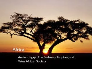
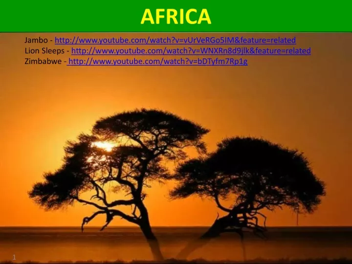
AFRICA Jambo - http://www.youtube.com/watch?v=vUrVeRGo5IM&feature=related Lion Sleeps - http://www.youtube.com/watch?v=WNXRn8d9jlk&feature=related Zimbabwe - http://www.youtube.com/watch?v=bDTyfm7Rp1g
X LOGISTICS - Field Trips • travel in two • rental vans • 10 participants in each van • lottery next Monday morning for • all three trips (Nov 5, 12, 19) • - bring sack lunch • (drinks provided) • - $15 for transport & drinks
LOGISTICS - Field Trips Monday, November 5th - 9:00am-5:00pm - by bus - 50 participants - $ ?? Inclusive “Amazing Geology of Georgetown” - visit local geologic sites with Dr. ‘D’ - lunch at the French Quarter Grill - afternoon tour of Inner Space Caverns
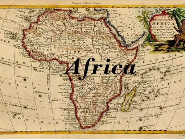
Vagabonds Tramping Through East Africa
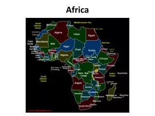
ZIMBABWE EAST AFRICA EGYPT Vagabonds Tramping Through East Africa Week 6: Egypt Week 5: Kenya KENYA Week 4: Tanzania (2) TANZANIA Week 3: Tanzania (1) ANGOLA Week 2: Zimbabwe ZIMBABWE Week 1: living in Africa SOUTH AFRICA
ZIMBABWE TODAY’S TOPICS Zambezi River & Victoria Falls Overview Zimbabwe Geography & Statistics Hwange National Park
ZIMBABWE OVERVIEW Series Notes Africa Overview
Series Notes • My slides violate the norm • Vagabond’s Role • Geologic Study & Extra Material • Hidden Agenda • GEOLOGIC STUDY • The following chart shows the topics of geology study • We will cover, to varying depths, most of the topics shown on this chart • As time permits, we will develop additional material on some topics to provide added depth of study • THE VAGABOND’S ROLE • Our role in these classes is to introduce GEOLOGY not just as an academic study but to show how pervasive GEOLOGY is, particularly, how it relates to most if not all of your travels • It’s processes have formed most of what we go to see & do • Geology Rocks! • OUR HIDDEN AGENDA • To show you how interesting science, and in particular, geology, can be in the hopes that you will spread the word to your grandchildren & great-grand-children! • Our future will have a high demand for science & math oriented graduates! • SLIDES • I include more text on each slide than what is the norm in the business of presentations • I do that so that if you want to review something, the text of most of what I talk about is there • To help during the class, I underline the important points on the slide
VAGABONDS TRAMP THRU EAST AFRICA Africa Overview
AFRICA OVERVIEW 54 fully recognized sovereign states ("countries") and 9 territories World’s largest international aid recipient Although it has abundant natural resources, Africa remains the world's poorest and most underdeveloped continent • Causes for this dismal situation may include: • Endemic spread of deadly diseases • Repeated corrupt governments and failed central planning • All to frequent tribal and military conflicts • Seemingly unchangeable high levels of illiteracy • Lack of access to foreign capital • And lastly, geography (as Dr. D will explain later)
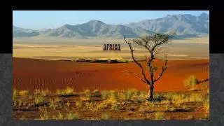
AFRICA GEOGRAPHY Continent is 4550 miles wide by 4900 miles long Only continent to stretch from the northern temperate to southern temperate zones Covers 20.4 percent of the Earth's total land area 4550 miles 4900 miles X Northern Temperate Zone Contains the world’s longest river: The Nile Contains the world’s largest desert: The Sahara Highest point on the continent is: Mt. Kilimanjaro (Tanzania) Lowest point on the continent is Lake Assal (Djibouti) Africa is the hottest continent on earth (Libya 136 deg F); drylands and deserts comprise 60% of the continent’s land surface Deforestation is affecting Africa at twice the world rate Southern Temperate Zone S A H A R A
AFRICA POPULATION World's second-most-populous continent behind Asia NORTH AMERICA EUROPE ASIA AFRICA SOUTH AMERICA AUSTRALIA ANARCTICA Land Area Population Area Pop. Area Pop. Area Pop. Area Pop. Area Pop. Area Pop. Area Pop. ASIA AFRICA N.A. S.A. ANT- ARCTIC EUROPE AUSTR.
AFRICA POPULATION World's second-most-populous continent behind Asia Population grew from 221 million in 1950 to 1 billion in 2009; a 2.6% annual compound rate Accounts for 14.8% of the world's human population World’s most fertile continent; 5 children per woman World’s highest infant mortality rate World’s highest AIDS rate 80.5% of the Sub-Saharan Africa population was living on less than $2.50 a day in 2005 By some counts, over 3000 languages are spoken natively in Africa
AFRICAN MINERALS Continent is believed to hold The DRC also has more than 30% of the world’s diamond reserves Guinea is the world’s largest exporter of bauxite
AFRICA SOURCE: ORIGINS OF MAN Widely regarded within the scientific community to be the origin of humans and the earliest hominids and their ancestors Earliest Homo sapiens (modern human) found in Ethiopia being dated to circa 200,000 years ago
ZIMBABWE TODAY’S TOPICS Zambezi River & Victoria Falls Overview Zimbabwe Geography & Statistics Hwange National Park
ZIMBABWE GEOGRAPHY & POLITICS
ZIMBABWE GEOGRAPHY Landlocked and surrounded by 4 countries
ZIMBABWE GEOGRAPHY Zambia Mozambique 440 miles 530 miles 151,000 sq. miles (1/2 that of Texas) Botswana South Africa
ZIMBABWE HIGHLIGHTS Zambia Mozambique Botswana South Africa
ZIMBABWE POLITICAL • The name “Zimbabwe” based on a Shona name for a famous ruined ancient city (UNESCO World Heritage Site) • Predominantly white minority govt of Rhodesia, unilaterally declared independence from Britain in 1965 • Zimbabwe achieved recognised independence in April 1980 • Robert Mugabe, former leader of the Zimbabwean African National Union from 1975, won a landslide victory in 1980 • Tribal unrest between 1981 & 1990 killed an estimated 20,000+ Zimbabweans
ZIMBABWE POLITICAL • Robert Mugabe, 88; President 4 times • widely accused of ethnic cleansing, rigging elections, terrorizing opposition, controlling media and presiding over a collapsed economy • He’s been named one of the world’s “worst dictators” for having a questionable human rights record • Supported killing of white, Zimbabwean farmers & gave their farms to his supporters • He is banned from traveling to Europe but can & has traveled to the USA • In an odd announcement, United Nations recently endorsed Mugabe and his regime as a “leader for tourism”
ZIMBABWE DEMOGRAPHIC & ECONOMIC STATISTICS
STATISTICAL COMPARISON Mugabe takes over, Internal Fighting Mugabe dictatorship rule/ support of DRC war War ended
STATISTICAL COMPARISON 38.7 yrs 45.7 yrs English mining: diamonds & COAL
OTHER ECONOMIC DATA • After the start of Mugabe’s reign, inflation slowly started to get out of control • Zimbabwe’s participation in tribal fighting in DRC and in 2000 started printing money to finance that effort which lead to HYPERINFLATION • The peak month of hyperinflation occurred in mid-November 2008 with a rate of inflation estimated at • 79,600,000% per month • The worst of the inflation occurred in 2008, lead to the abandonment of the Zimbabwean currency • USD and South African RAND are now used as trading currencies
OTHER ECONOMIC DATA This finishes our statistical comparison but stay tuned!
ZIMBABWE TODAY’S TOPICS Zambezi River & Victoria Falls Overview Zimbabwe Geography & Statistics Hwange National Park
HWANGE NATIONAL PARK ZAMBIA Zambezi River Victoria Falls HWANGE NATIONAL PARK The Hide
HWANGE NATIONAL PARK ZAMBIA Zambezi River Victoria Falls HWANGE NATIONAL PARK The Hide
HWANGE NATIONAL PARK • It is the largest game reserve • in Zimbabwe • Park has over: • 100 mammal • 400 bird species • 19 large herbivores • 8 large carnivores GEOLOGY SOILS PLANT LIFE ANIMALS Hwange National Park includes many diverse habitats including teak forests, palm islands, Kalahari savannah and acacia woodlands. • It was royal hunting grounds to the Ndebele warrior-king Mzilikazi in the early 19 th Century and was set aside in 1929 • population of African wild dogs in Hwange is thought to be of one of the larger surviving groups in Africa today • Hwange is about 1 hour south of Victoria Falls • This area is a malarial area; dry season is July to September
HWANGE NATIONAL PARK 2003 The Hide
HWANGE NATIONAL PARK 2012
ZIMBABWE TODAY’S TOPICS Zambezi River & Victoria Falls Overview Zimbabwe Geography & Statistics Hwange National Park
ZAMBEZI RIVER
ZAMBEZI RIVER • River source is in Zambia at 4,900 ft above sea level • Fourth-longest river in Africa at 1,700 miles • Largest river flowing into the Indian Ocean from Africa • Drainage basin 540,000 sq mi • two main hydroelectric dams; Kariba Dam between Zambia & Zimbabwe & Cahora Bassa Dam in Mozambique
ZAMBEZI RIVER • River source is in Zambia at 4,900 ft above sea level • Fourth-longest river in Africa at 2,200 miles • Largest river flowing into the Indian Ocean from Africa • Drainage basin 540,000 sq mi • two main hydroelectric dams; Kariba Dam between Zambia & Zimbabwe & Cahora Bassa Dam in Mozambique
Starts in Zambia, flows through eastern Angola, along the eastern border of Namibia and the northern border of Botswana, then along the border between Zambia and Zimbabwe to Mozambique, where it crosses that country to empty into the Indian Ocean
PALEO-ZAMBEZI ROUTE BUT, THE STORY GETS EVEN BETTER! BUT, The Zambezi didn’t always flow this way… Let’s look at it’s route 15 million yrs ago! Strange, upward forces formed a ridge, Kalahari-Zimbabwe Axis The Zambezi starting filling the newly created depression Ancient Lake Makgadikgadi was formed Ancient Lake Makgadikgadi Lake runoff finally created an outlet near Katombora, creating the Zambezi’s current route & residual Makgadikgadi Pans
VICTORIA FALLS